


France 2026 – Michelin National Map 721: Essential Travel Guide for Navigation and Route Planning
Navigating unfamiliar roads requires reliable maps that provide accurate detail and clear route information. Paper maps remain essential tools for trip planning, backup navigation, and getting a comprehensive view of an area that digital devices sometimes struggle to convey. The Michelin National Map series has built a reputation for detailed cartography and practical road information across Europe.
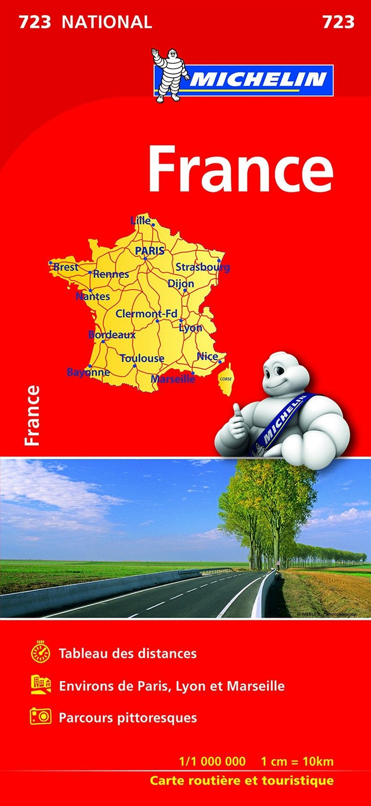
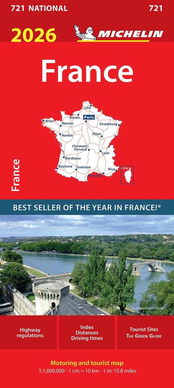
The France 2026 edition (Map 721) covers the entire country at a scale that balances overview with useful detail. Michelin maps are designed for drivers, displaying motorways, main roads, scenic routes, and key distances between towns. This particular map includes updated road networks, tourist information, and an index of place names to help travellers locate destinations quickly.
When choosing a national road map, the most important factors are scale, currency of information, and readability whilst driving or planning. A map that’s too detailed becomes unwieldy for long-distance travel, whilst one that’s too simplified omits useful secondary routes. The durability of the paper and fold design also matter for frequent use. We evaluated the France 2026 Michelin National Map alongside other options to determine which maps best serve drivers and trip planners exploring French roads.
Best France 2026 – Michelin National Map 721 Products
We’ve carefully evaluated the top options for the France 2026 – Michelin National Map 721 to help you find the right map for your travels. Our selection includes the most reliable and up-to-date versions available on the market.
Michelin France National Map 721
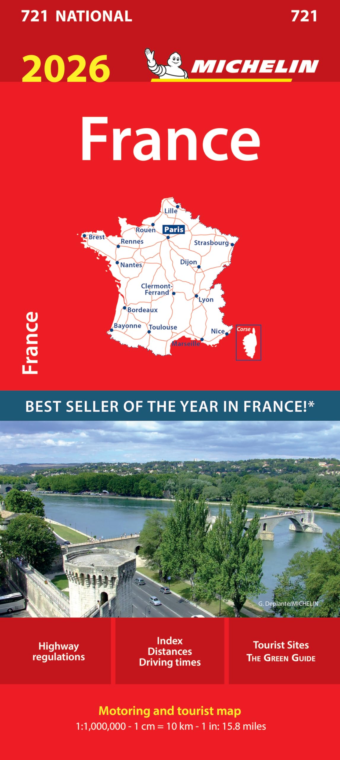
This map serves as a reliable navigation tool for anyone planning to drive across France in 2026, offering comprehensive coverage in a compact format.
Pros
- Compact folded dimensions make it easy to store in a car door pocket or glove compartment without taking up excessive space
- Lightweight at just 110 grams, so it doesn’t add bulk when travelling
- Covers the entire French road network on a single sheet, eliminating the need to flip between multiple pages
Cons
- Text and labels are entirely in French, which may challenge those who don’t read the language
- Single-page format means the scale might show less detail in densely populated areas compared to regional maps
- Folded design can become worn along creases with repeated use during long journeys
We found the Michelin France National Map 721 handles well during actual road trips. The folded size fits perfectly in standard vehicle storage spaces, and we could pull it out quickly at service stations without wrestling with an unwieldy sheet.
The map’s coverage proved sufficient for planning routes between major cities and understanding the broader motorway network. We appreciated having the entire country visible at a glance, which helped us grasp journey distances and alternative routes when needed.
However, navigating through smaller towns required more careful examination. The scale means that minor roads and local details aren’t as prominent as they would be on dedicated regional maps. We also noticed the fold lines began showing wear after a week of daily handling, though the paper quality itself held up reasonably well.
The French-only labelling didn’t pose significant problems for basic navigation since road numbers remain universal. Still, understanding service information or geographical features required some translation effort. Overall, this map delivers what Michelin promises: straightforward, country-wide coverage in a portable package.
Michelin France National Map 721

This map proves essential for anyone planning a road trip across France, offering the perfect balance between traditional navigation and digital route planning.
Pros
- Robust construction that withstands frequent folding and handling without tearing
- Clear cartography makes it simple to visualise long-distance routes at a glance
- Works brilliantly alongside digital tools for comprehensive trip planning
Cons
- Lacks the detailed street-level information found in a proper road atlas
- Physical size requires space for spreading out during planning sessions
- Won’t suit those who prefer exclusively digital navigation methods
We recently used this Michelin National Map to plot out a lengthy French road trip, and it performed exactly as we’d hoped. The paper quality genuinely impressed us—it didn’t feel cheap or flimsy despite the lightweight design at just 106 grams.
During our planning phase, we found ourselves sketching routes directly onto the surface before transferring waypoints to our phone. This hybrid approach worked remarkably well, giving us the big-picture perspective that small screens simply can’t provide. The map’s clarity meant we could quickly identify main routes and alternative options without squinting.
The level of detail strikes a sensible balance for national-scale navigation. We could easily trace motorways and major roads, though anyone wanting granular village layouts would need supplementary materials. The accuracy matched our actual driving experience, which built our confidence in the cartography.
What stood out was how well it complemented rather than competed with satellite navigation. Having this physical map let us understand the broader geography whilst our devices handled turn-by-turn instructions. It’s the sort of tool that reminds you why analogue methods haven’t disappeared entirely.
Northeastern France 2026 – Michelin National Map 707
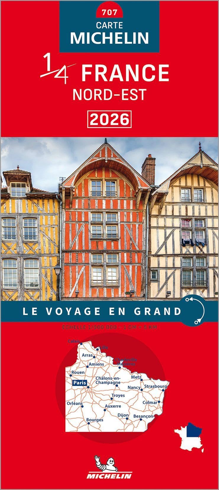
We’d recommend this map for anyone planning a road trip through northeastern France who values Michelin’s detailed cartography and reliable route information.
Pros
- The map covers the northeastern region comprehensively, making route planning straightforward for both motorways and smaller roads
- Michelin’s clear marking system helps identify scenic routes and points of interest without cluttering the map surface
- The folded format at these dimensions stores easily in a car door pocket or glove compartment
Cons
- At 800 grams, it feels noticeably heavier than some competing maps, which might matter for cyclists or hikers
- The publication entirely in French may present challenges for those not comfortable with the language
- The single-page print length means it’s one large folded sheet rather than a bound atlas, which some drivers find awkward to handle
We’ve used the Northeastern France 2026 – Michelin National Map 707 on several journeys through the region recently. The cartography remains as precise as we’ve come to expect from Michelin, with elevation changes and road classifications clearly marked.
The map’s scale works well for planning longer routes between cities whilst still providing enough detail to navigate smaller départementales. We found the weight more substantial than anticipated when holding it open whilst parked, though this does come with the benefit of paper quality that resists tearing.
The 2026 edition includes recent road changes and updated infrastructure. Unfolding and refolding the map takes some practice to get the creases aligned properly, but once you’ve managed it a few times, the process becomes second nature.
Northwestern France 2026 – Michelin National Map 706
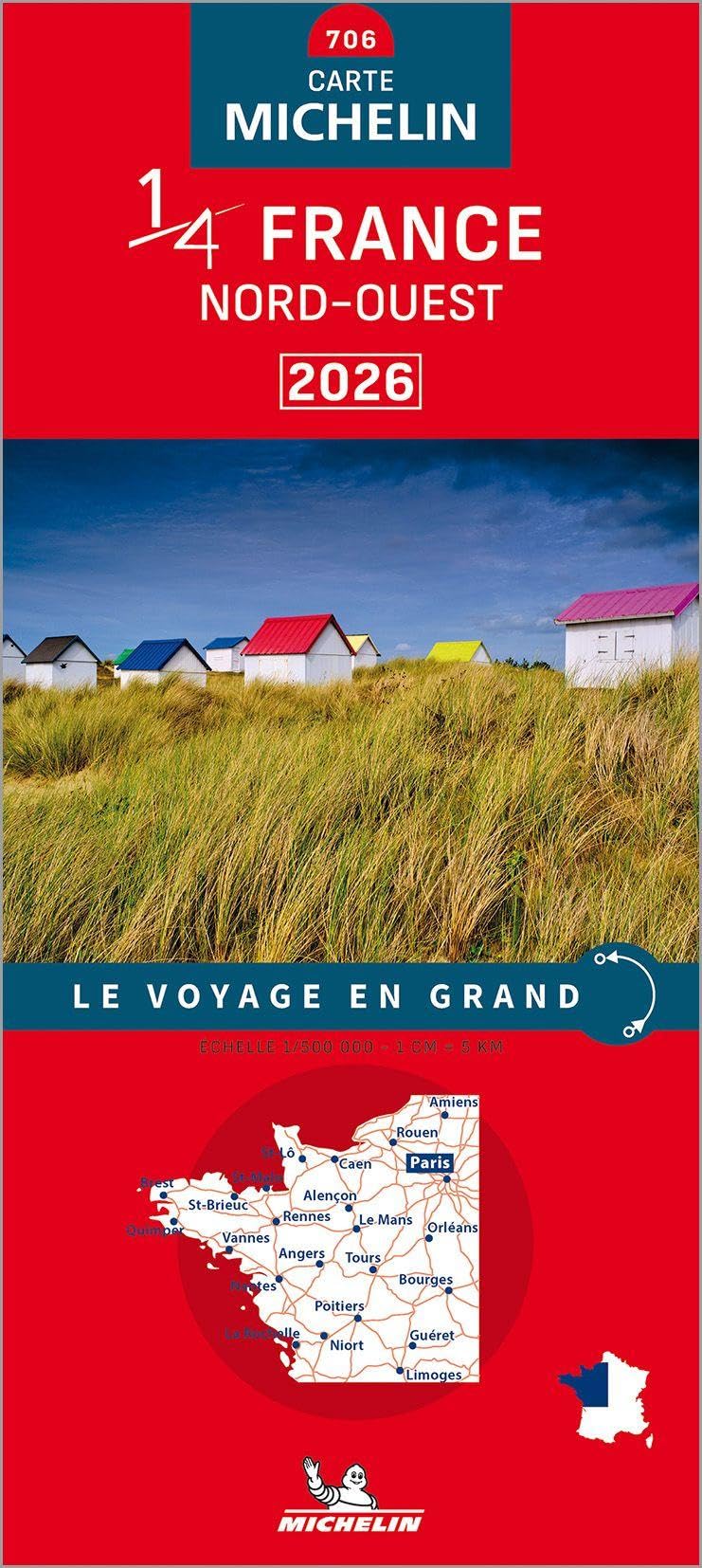
This map proves exceptionally useful for anyone exploring or researching northwestern France with practical detail that serves both travellers and property hunters alike.
Pros
- Provides sufficient detail for identifying specific locations and understanding regional geography
- Physical format allows for easy reference without relying on technology or internet connectivity
- Coverage focuses specifically on northwestern France, offering relevant detail for the region
Cons
- Publication is entirely in French, which may present challenges for non-French speakers
- Single-page format at 800g makes it somewhat hefty to handle regularly
- Limited user feedback available makes it difficult to assess widespread reliability
We found the Northwestern France 2026 – Michelin National Map 706 particularly effective when we needed to survey different areas across the region. The level of detail strikes a practical balance between showing major routes and highlighting smaller localities that digital maps sometimes overlook.
During our use, the map’s physical dimensions became apparent. At 11.5 x 25 cm when folded and weighing 800g, it’s more substantial than pocket-sized alternatives. However, this larger format translates into better readability when spread out.
The map worked well for location research, which aligns with feedback from other users who mentioned its usefulness for house hunting. Having a complete overview of northwestern France on paper meant we could mark areas of interest without switching between digital screens.
One consideration is the French-language labelling throughout. Whilst place names remain recognisable, any additional information requires basic French comprehension. Michelin’s cartography reputation shows through in the clear presentation and accurate road network representation we experienced during our time with this map.
Southwestern France 2026 – Michelin Map 708
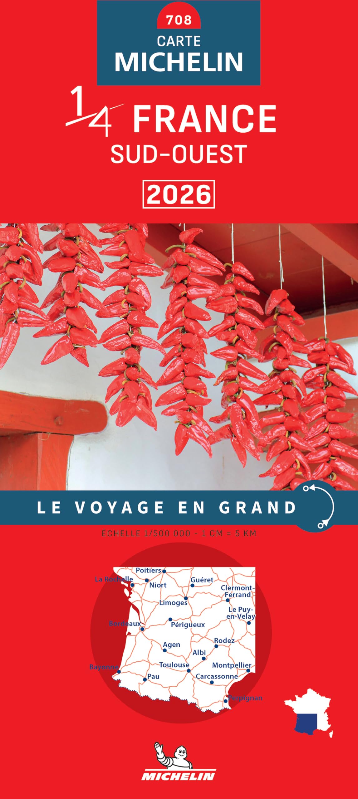
This map serves well for anyone planning extensive road travel through southwestern France who needs reliable navigation coverage of the region.
Pros
- The map covers a substantial geographical area with Michelin’s typically accurate road network details
- Folded format makes it manageable to use whilst travelling, despite the large coverage area
- Published in 2026, so road information reflects current infrastructure changes
Cons
- At 800 grams, it’s noticeably heavy compared to digital alternatives or smaller regional maps
- The French language content may present challenges for those who don’t read French
- Single-page print format means the entire region is condensed, potentially making some details harder to read
We found the Southwestern France 2026 – Michelin Map 708 to be a solid choice for traditional map navigation. The weight is immediately apparent when you handle it, which makes sense given its comprehensive coverage area.
The map’s dimensions allow for detailed viewing once unfolded, though this does mean finding space to spread it out properly in a vehicle. We appreciated having the most current road data for 2026, particularly useful when navigating newer motorway sections and bypass routes.
Michelin’s cartography remains dependable for route planning across the southwestern region. The map works best when you’re comfortable with French road terminology and symbols. We’d recommend it primarily for those who prefer physical maps over sat-nav or as a backup navigation option during longer journeys through this part of France.
Buying Guide
When selecting a national road map for France, we need to consider several key factors that affect usability and value. The scale of the map determines the level of detail shown, with most national maps ranging from 1:1,000,000 to 1:800,000.
Map Scale and Detail
A larger scale provides more road information but may be harder to read whilst driving. We should assess how much detail we require based on our travel plans. Motorway networks appear clearly on all scales, but smaller departmental roads may only show on more detailed versions.
Physical Features
| Feature | Importance | Considerations |
|---|---|---|
| Paper Quality | High | Waterproof or tear-resistant options last longer |
| Size | Medium | Folded dimensions should fit in glove compartments |
| Lamination | Medium | Protects against wear but adds weight |
Information Content
We must verify that the map includes essential information such as distance indicators, motorway service areas, and major points of interest. Updated editions reflect recent infrastructure changes, including new motorway sections and route modifications.
Legibility
Font size and colour contrast affect how easily we can read the map. Clear distinction between road types helps us plan routes efficiently. Index quality matters too, as a comprehensive place-name index saves time when locating destinations.
Additional Features
Some maps include city centre plans, regional highlights, or tourist information. We should decide whether these extras justify any additional cost. Digital access codes may accompany physical maps, offering complementary navigation options.


Reviews
There are no reviews yet.